
Millville Neighbor Block Sources
A Millville neighbor can mean an adjoining parcel, a property across the street, or a civic connection. Public sources answer different parts of that question. The parcel map supplies geometry. The assessor and County Clerk can verify ownership for a selected parcel. City planning material provides public context about a neighborhood, not a directory of households. Keeping those roles separate avoids turning a boundary map into an unsupported claim about who occupies a Millville address.
| Source | What It Shows About a Block | Access |
|---|---|---|
| Cumberland County GIS | Parcel adjacency, roads, zoning, boundaries, and land-use context | Public map; live popup controls were not captured |
| Millville assessment record | Selected parcel’s owner, situs, mailing clue, block, lot, and qualifier | Public search or assessor office; owner is not occupant |
| Cumberland County Clerk | Recorded title event, parties, and legal description for a selected parcel | CountyFusion, ImageSync, archive request, or Clerk follow-up |
| Election officials | Lawfully handled registry-list arrangement by street, residence number, and name | Statutory rules and county confirmation; not a household roster |
| Planning and neighborhood sources | Land-use and civic-priority context for a Millville area | City pages and official plan; no public member roster located |
Ownership, mailing, and occupancy must remain distinct for surrounding Millville parcels. The owner may be a trust, estate, or organization. A tax mailing address can be somewhere else. An occupant is not a field confirmed by the map or title record. Those distinctions are especially important around mixed-use and older industrial parts of Millville.
Millville Neighbor GIS Context
The Cumberland County GIS viewer is the geographic starting point for Millville neighbor research. County materials identify layers for parcels, roads and centerlines, municipal and county boundaries, zoning, land use and land cover, soils, and preserved land. Use those layers to locate a subject lot and understand the physical arrangement around it. The map is a spatial source, not a verified owner or resident screen.
The live viewer shell was available during research, but current popup fields and the exact select, measure, or buffer controls were not inspected. Do not assume a particular popup displays names, occupants, or a list of adjacent parcels. Instead, note the visible parcel geometry and identifiers, then verify each selected Millville parcel through the assessor and, where needed, the Clerk’s title record.
Note: A parcel boundary can help frame a Millville block, but it does not establish that every nearby structure shares the same owner or household.
Verify Millville Adjacent Parcels Carefully
A parcel that looks close on a Millville map may not be a next-door property. Lots can meet only at an alley, a common area, a railroad corridor, a water feature, or a narrow corner. Start with the subject parcel’s polygon and legal identifier. Then distinguish parcels that share a meaningful boundary from parcels that only appear nearby at the map’s scale. This prevents a neighbor search from confusing map proximity with a direct adjoining relationship.
For every selected Millville parcel, compare four values before recording any conclusion. The owner is the person or entity shown in the assessment or title record. The situs is where the parcel lies. The mailing address is where tax correspondence goes. The occupant is not established by either of those fields. A company, estate, trust, or absentee owner can be recorded beside a Millville parcel without living at that location.
The assessor record and County Clerk title source should agree on the core parcel or legal-description link before it is used. If they conflict, preserve both dates and ask the appropriate Millville or county custodian which record is current. Do not infer a household from an exemption, a mailing field, or a nearby label.
Map a Millville Block Through Parcels
A defensible Millville block workflow moves from one verified address to selected surrounding parcels, then back to the records that document each parcel. It is narrower than a street-wide search and avoids treating a map as a people list. Keep an access date and the record relationship for every step.
- Locate the subject Millville address in the county GIS viewer and record the displayed parcel geometry or identifier.
- Identify only the parcels that visibly touch the subject boundary or meet the practical block question.
- Test whether an alley, common area, rail corridor, water feature, or another separation makes the apparent connection misleading.
- Run each selected parcel through the Millville assessment search, preserving owner, situs, mailing, block, lot, qualifier, and record date separately.
- Use the County Clerk route for a defined title question, then label the result as recorded ownership rather than occupancy.
For a complete named-street record chain, use the Millville directory by street. That address-focused route is broader than the immediate parcel angle used here.
Millville Neighbor Voter Boundaries
New Jersey’s voter-list statute, N.J.S.A. 19:31-18, allows a statutory registry arrangement by street, residence number, and name under its own handling rules. That arrangement does not authorize publication of a Millville block list. The current Cumberland bulk-file request process was not located during research, so do not assume that a status check permits a wider request or establishes a delivery method.
A voter should use the official New Jersey registration-status route for their own status. The page should not display sensitive registry content, signature material, protected addresses, or information that could expose a person’s participation. Registration presence is a dated administrative fact, not proof that someone is a current Millville neighbor or an invitation to contact them.
The Cumberland County Voter Registration Department can confirm the current lawful process for an election-related request. If an address is suppressed or uses a substitute address, preserve that protection rather than trying to connect it to a parcel.
Center City Millville Civic Priorities
The verified community layer for Millville is the Center City Millville Neighborhood Plan 2020–2030. Its public priorities include activities, economic development, parks, education and recreation, and civic leadership. Those priorities provide context for how Millville describes Center City partnerships and public improvement work. They do not identify a member household, an association roster, or a private block-watch list.
The Center City Millville Neighborhood Plan 2020–2030 is the source for that civic context.
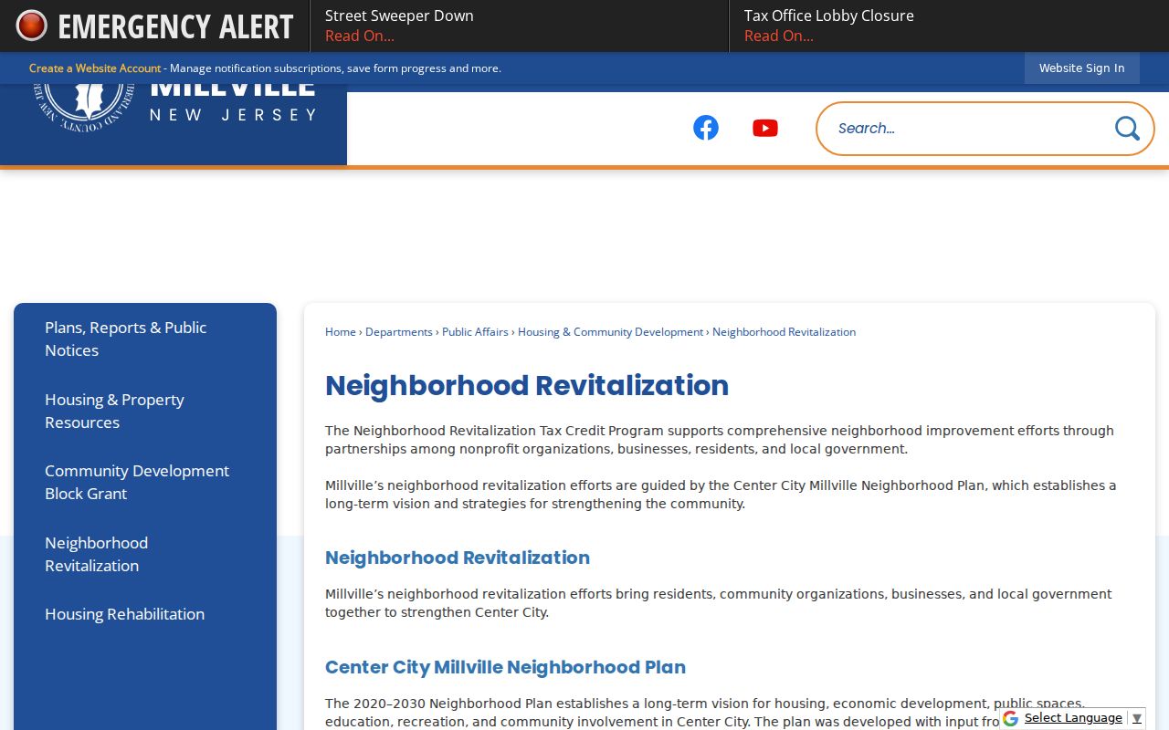
The Millville plan image is useful for understanding public neighborhood priorities, while parcel and ownership questions still require the assessor, County Clerk, or another correct custodian.
Note: A Millville planning document can describe a community goal without establishing an exhaustive list of groups or residents within that area.
Millville Neighbor Contact Routes
Only a small set of Millville community contacts was confirmed in the research. The Center City plan is public, and the Millville Neighborhood Alliance is mentioned in an official city development document. No public member roster, complete association inventory, boundaries, meeting schedule, or block-watch roster was located. Use the public city channels below for a planning, zoning, community-context, or defined-record question rather than treating a mention as a resident directory.
| Verified route | Use and limitation |
|---|---|
| Center City Neighborhood Plan | Public priorities and partnership context, not a membership roster |
| Millville Neighborhood Alliance mention | Official-document reference only; no public roster was located |
| Millville Planning | Planning-board and land-use context for a defined area |
| Millville Zoning | Zoning maps, applications, and code context, not occupant data |
| Millville OPRA | Defined city-held record requests, subject to lawful redaction and access limits |
Millville Neighbor Source Comparison
Official records and commercial neighbor-search products are not interchangeable. An official Millville or county record identifies its custodian, scope, and access limit. A commercial product may merge dated public material from different sources, with uncertain refresh dates and unclear relationship labels. Neither category can turn a parcel boundary into proof of occupancy.
| Source type | Useful role | Limit |
|---|---|---|
| GIS, assessor, Clerk, and city records | Trace parcel geometry, recorded ownership, title events, and civic context at the source | Different records prove different relationships; protected information remains protected |
| Commercial neighbor-search category | May supply a lead for a name or past address that needs independent checking | Can be incomplete, old, or wrongly combined; it is not a custodian record |
If a commercial copy is inaccurate, use that publisher’s stated correction or privacy route. The request does not revise the Millville assessment record, County Clerk filing, voter record, or another government-held source.
Privacy Limits on Millville Neighbor Research
Privacy rules draw the line around Millville neighbor research. The New Jersey Address Confidentiality Program uses a substitute address for eligible participants, and a protected address must remain protected. The Driver Privacy Protection Act restricts motor-vehicle personal information. Court, voter, and other records can also be sealed, suppressed, redacted, or restricted. A visible field in one source is not permission to reconstruct what another source withholds.
Lawful use. Use Millville neighbor research for a personal and lawful purpose such as understanding parcel boundaries, community history, or a defined record question. Never use records to follow, monitor, threaten, harass, or harm a person.
Millville occupants, household members, utility customers, delivery recipients, and private community contacts are not public GIS fields. When the official record does not support the answer, stop at the limit and ask the custodian only for a specific lawfully releasable record.